

Land, Volume 9, Issue 11 (November 2020) – 71 articles
Cover Story (view full-size image):
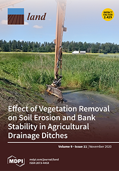
Maintenance of agricultural drainage ditches can be difficult to optimize if farmers have no guidelines on where to target their maintenance efforts. Unstable ditches can cause extensive sediment and nutrient transport as well as reduced drainage capacity. Methods are needed to assess whether ditch banks will experience soil erosion or mass movement. Cohesive and shear strength measurements showed that plant roots play an important role in reducing the rate of soil detachment and stabilizing ditch banks against mass movement. The conclusion is that native vegetation should be maintained on ditch banks, instead of being removed during maintenance work as is currently often the case. View this paper.
- Issues are regarded as officially published after their release is announced to the table of contents alert mailing list.
- You may sign up for e-mail alerts to receive table of contents of newly released issues.
- PDF is the official format for papers published in both, html and pdf forms. To view the papers in pdf format, click on the "PDF Full-text" link, and use the free Adobe Reader to open them.
Previous Issue
Next Issue