

Forests, Volume 8, Issue 2 (February 2017) – 22 articles
Cover Story (view full-size image):
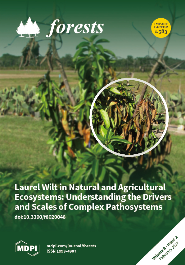
The rapid spread of laurel wilt in the United States is due to an efficient vector, X. glabratus, and the movement of wood infested with the insect and pathogen. These factors, the absence of fully resistant genotypes, and the paucity of effective control measures severely constrain the disease’s management in forest ecosystems and avocado production areas. View this paper.
- Issues are regarded as officially published after their release is announced to the table of contents alert mailing list.
- You may sign up for e-mail alerts to receive table of contents of newly released issues.
- PDF is the official format for papers published in both, html and pdf forms. To view the papers in pdf format, click on the "PDF Full-text" link, and use the free Adobe Reader to open them.
Previous Issue
Next Issue