Journal Menu
► ▼ Journal Menu-
- IJGI Home
- Aims & Scope
- Editorial Board
- Reviewer Board
- Topical Advisory Panel
- Instructions for Authors
- Special Issues
- Topics
- Topical Collections
- Article Processing Charge
- Indexing & Archiving
- Editor’s Choice Articles
- Most Cited & Viewed
- Journal Statistics
- Journal History
- Journal Awards
- Society Collaborations
- Conferences
- Editorial Office
Journal Browser
► ▼ Journal BrowserNeed Help?
Announcements
18 October 2021
Welcoming Three New Associate Editors in ISPRS International Journal of Geo-Information (IJGI)
We are proud to have three new Associate Editors joining the IJGI editorial board in October. Their brief introductions are listed below.
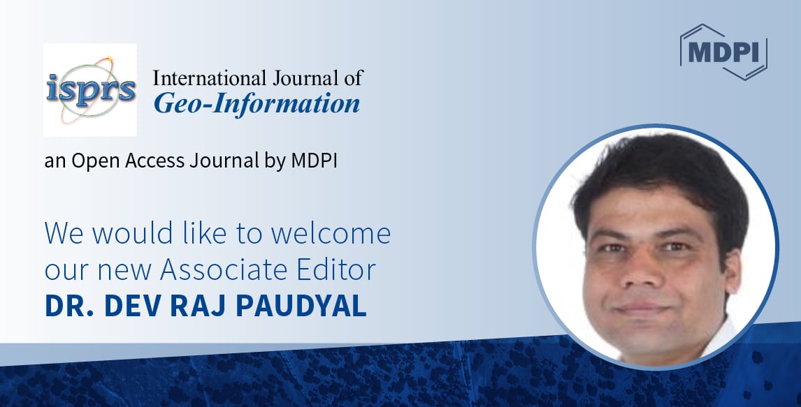
- Dr. Dev Raj Paudyal, University of Southern Queensland West Street, Australia;
- Prof. Dr. Florian Hruby, Berlin University of Applied Sciences and Technology, Germany;
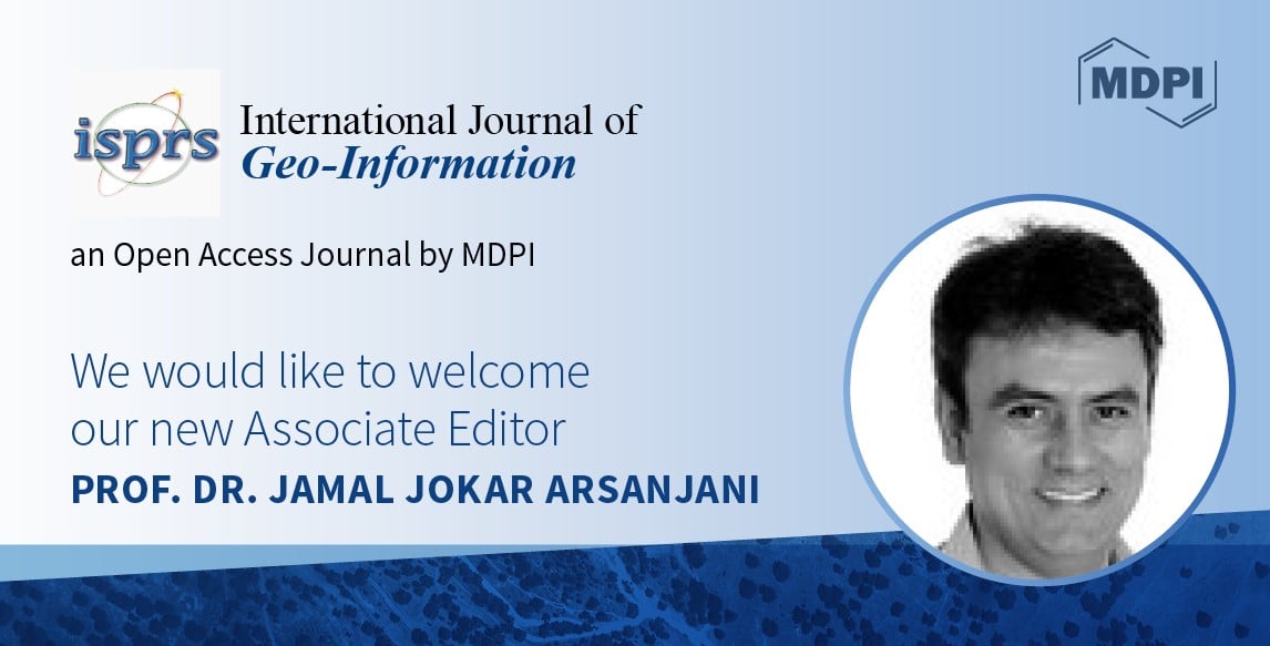
- Prof. Dr. Jamal Jokar Arsanjani, Aalborg University Copenhagen, Denmark.
We are pleased to introduce the following three Associate Editors: Dr. Dev Raj Paudyal, Prof. Dr. Florian Hruby, and Prof. Dr. Jamal Jokar Arsanjani.

Dr. Dev Raj Paudyal is a lecturer at the School of Civil Engineering and Surveying, University of Southern Queensland West Street. He is a member of the Surveying and Spatial Science Institute (SSSI, Australia) and the Royal Institution of Chartered Surveyors (RICS), a founding Member of the International Geospatial Society (IGS), and a life member of the Nepal Remote Sensing and Photogrammetry Society (NRSPS). His research activity is in the field of spatial data infrastructure (SDI); land administration; cadastre; IoT; citizen science; mixed-method research; land use policy; catchment management; and health informatics.

Prof. Dr. Florian Hruby is a professor at the Berlin University of Applied Sciences and Technology in Berlin, Germany. He is the co-chair of ISPRS WG IV/3 “Spatial Data Analysis, Statistics, and Uncertainty Modelling”. His research activity is in the field of geovisualization; empirical cartography; theoretical cartography; virtual reality; and GIS.

Prof. Dr. Jamal Jokar Arsanjani is a professor of Geoinformatics and Earth Observation Research Group in the Department of Planning at Aalborg University Copenhagen, Denmark. He is a member of ISPRS WG IV/9 “Geovisualization, Augmented and Virtual Reality”. His research interests include citizen observations; earth observation; geocomputation; GEO-artificial intelligence; data quality; and environmental monitoring and assessment.


